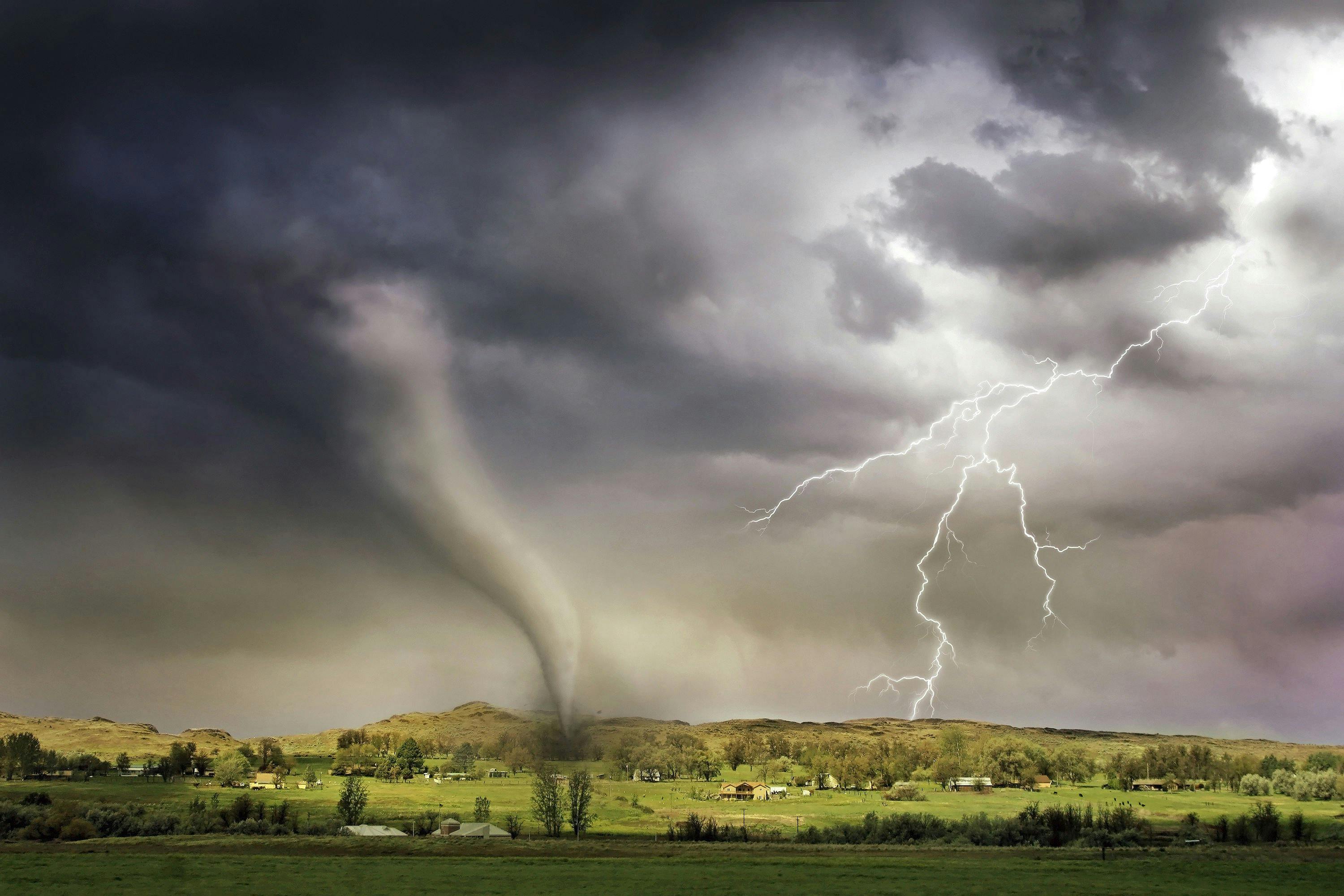
The National Hurricane Center said Hurricane Isaias had 110 mph winds and was expected to make landfall on the northern Gulf Coast tonight or early Saturday.
Hurricane Isaias was centered near 26.4 north, 88.0 west at 0900 UTC on Friday, about 200 miles south-southeast of the mouth of the Mississippi River, the National Hurricane Center said in Advisory 11. Maximum sustained winds were near 110 mph, and the storm was moving north-northeast near 15 mph.
Air Force and NOAA Hurricane Hunter data showed the increase to 110 mph. The center said Isaias was likely to become a major hurricane on Friday morning, with slight weakening expected before landfall, and that it should remain a dangerous hurricane. Hurricane-force winds extended about 30 miles from the center and tropical-storm-force winds about 185 miles.
A hurricane warning covered Ocean Springs, Mississippi, to the Bay and Gulf County line in Florida. A tropical storm warning covered the Jefferson and Plaquemines parish line in Louisiana to west of Ocean Springs. The discussion said seas near the center were up to 32 feet and the minimum pressure was about 963 millibars.
On the forecast track, Isaias is expected to approach the northern Gulf Coast this afternoon and make landfall in the warning area tonight or early Saturday. The center said preparations should be rushed to completion because conditions will deteriorate quickly.
The advisory is a forecast, not a landfall report. Local storm-surge details remain with National Weather Service offices.
People Sentiments Negative
- The National Hurricane Center said preparations should be rushed to completion as the weather will go downhill quickly.